Port Update
Philadelphia / Delaware River & Bay
September 10, 2025
Notices
Moran Shipping Agencies at Port Philadelphia & Wilmington, DE & Baltimore, MD
Port Security - MARSEC Level 1
Local Time – GMT - 4
Small Craft Advisory
URGENT - MARINE WEATHER MESSAGE...UPDATED
National Weather Service Mount Holly NJ
615 AM EDT Wed Sep 10 2025
ANZ451>455-102315-
/O.CON.KPHI.SC.Y.0086.000000T0000Z-250911T1000Z/
Coastal waters from Manasquan Inlet to Little Egg Inlet NJ out
20 nm-
Coastal waters from Little Egg Inlet to Great Egg Inlet NJ out
20 nm-
Coastal waters from Great Egg Inlet to Cape May NJ out 20 nm-
Coastal waters from Cape May NJ to Cape Henlopen DE out 20 nm-
Coastal waters from Cape Henlopen to Fenwick Island DE out 20 nm-
615 AM EDT Wed Sep 10 2025
...SMALL CRAFT ADVISORY REMAINS IN EFFECT UNTIL 6 AM EDT
THURSDAY...
* WHAT...Northeast winds 15 to 25 kt with gusts up to 30 kt and
seas 4 to 7 ft.
* WHERE...Coastal waters from Manasquan Inlet to Little Egg
Inlet NJ out 20 nm, Coastal waters from Little Egg Inlet to
Great Egg Inlet NJ out 20 nm, Coastal waters from Great Egg
Inlet to Cape May NJ out 20 nm, Coastal waters from Cape May
NJ to Cape Henlopen DE out 20 nm and Coastal waters from Cape
Henlopen to Fenwick Island DE out 20 nm.
* WHEN...Until 6 AM EDT Thursday.
* IMPACTS...Conditions will be hazardous to small craft.
PRECAUTIONARY/PREPAREDNESS ACTIONS...
Inexperienced mariners, especially those operating smaller
vessels, should avoid navigating in hazardous conditions.
Weather / Marine Zone Forecast
Marine Weather
ANZ400-102100-
401 AM EDT Wed Sep 10 2025
.SYNOPSIS FOR THE COASTAL WATERS FROM SANDY HOOK NJ TO FENWICK
ISLAND DE AND FOR DELAWARE BAY...
High pressure centered from New England to Nova Scotia Canada
will continue to shift eastward today. An area low pressure off
the coast of the Carolinas tracks north and northeastward
through today, then moves even farther away from our area during
Thursday. A cold front arrives Sunday night into Monday, then
high pressure builds to our north Tuesday.
ANZ454-102100-Coastal waters from Cape May NJ to Cape Henlopen DE out 20 nm-
401 AM EDT Wed Sep 10 2025
SMALL CRAFT ADVISORY IN EFFECT THROUGH LATE TONIGHT
TODAY
NE winds around 20 kt with gusts up to 25 kt. Seas 5 to
7 ft. Wave Detail: E 7 ft at 8 seconds. A slight chance of tstms.
A chance of showers until late afternoon, then a slight chance of
showers late.
TONIGHT
NE winds 15 to 20 kt, becoming N 10 to 15 kt after
midnight. Seas 4 to 6 ft. Wave Detail: E 6 ft at 7 seconds.
THU
N winds 10 to 15 kt, becoming NE 5 to 10 kt in the
afternoon. Seas 3 to 4 ft. Wave Detail: E 4 ft at 8 seconds.
THU NIGHT
NE winds around 5 kt. Seas 3 to 4 ft. Wave Detail: E
4 ft at 8 seconds.
FRI
NE winds 5 to 10 kt. Seas around 3 ft. Wave Detail: E 3 ft
at 7 seconds.
FRI NIGHT
E winds 5 to 10 kt. Seas around 3 ft. Wave Detail: E
3 ft at 7 seconds.
SAT
E winds 5 to 10 kt. Seas 3 to 4 ft.
SAT NIGHT
SE winds around 10 kt, becoming SW after midnight.
Seas 3 to 4 ft.
SUN
W winds 5 to 10 kt, becoming SE in the afternoon. Seas
around 3 ft.
SUN NIGHT
S winds around 10 kt. Seas around 3 ft.
Winds and seas higher in and near tstms.
Airport Code – Port Philadelphia, PA (PHL)
Please reply to our Group Email Address phl@moranshipping.com on ALL messages to this office.
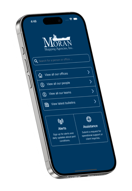
Subscribe link https://www.moranshipping.com/news/subscribers/new
Daily Update Reference https://www.moranshipping.com/news/bulletins
If you would like updates for all USA ports, the easiest method for reviewing our daily port updates is by visiting: http://ports.moranshipping.com/default.aspx